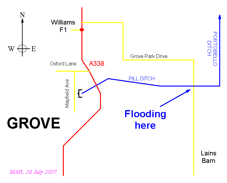
Pill Ditch is a small stream that drains the north-east part of Grove and whose course is well-marked on OS maps (e.g. Landranger Sheet 164, Oxford). As shown in the schematic below, the stream flows east for about two miles. It then turns north and becomes known as Portobello Ditch. This flows north for about four miles joining the River Ock, just south of Marcham.
Pill Ditch first appears on the surface as it emerges from a culvert east of Mayfield Avenue, near Kingcup Green. It flows for about 300 metres in Grove before passing under the A338 main road. This section is recognised as a flood risk and was subject to some flooding on 20 July.
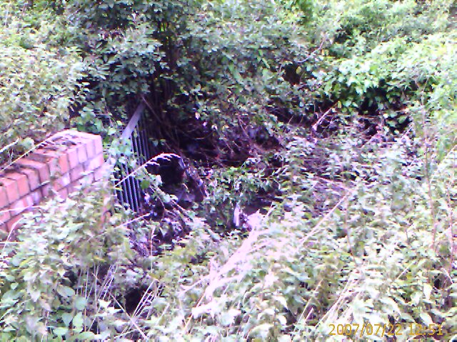
This section is very clogged with vegetation. In particular, the exit from the culvert is badly overgrown as shown in the picture below (taken 2 days after the Flood). The brickwork on the left is the south side of the exit, the metal grill marks the exit and the north side is lost in overhanging vegetation (which was woody shrubs of several years growth, not just seasonal vegetation). The Ditch drains away to the right.
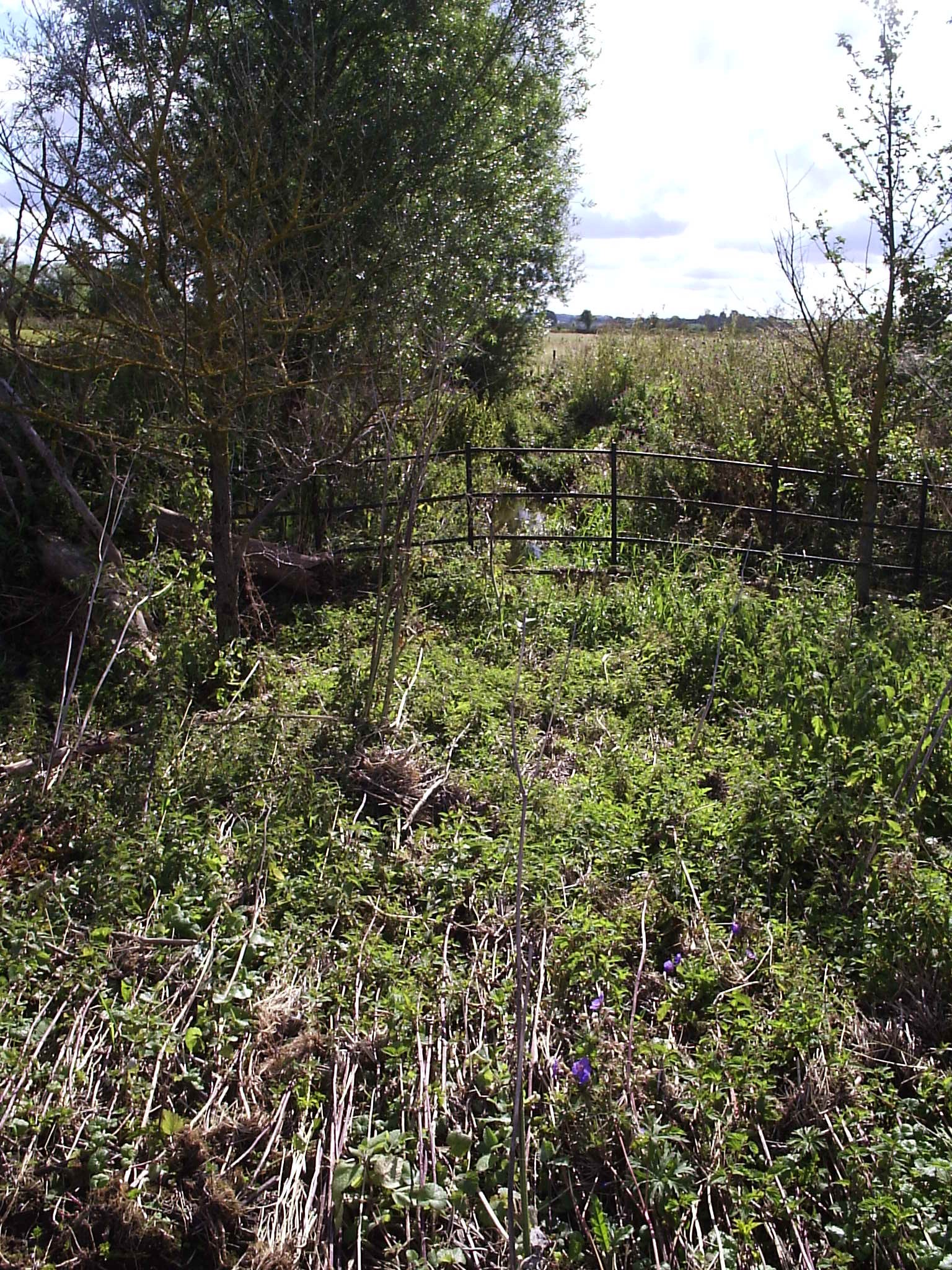
On leaving Grove the stream crosses fields east of Grove and eventually passes under Grove Park Drive (the Lains Barn road) just south of the old canal and near Andersey Farm. This section of road was flooded on 20 July causing a traffic jam in which cars coming from the A417 where forced to turn round and find alternative routes (e.g. to Wantage along the A417 through the floods just east of the Lord Nelson pub). The picture below shows Pill Ditch just east of Grove Park Drive; you can see some water in the Ditch in the centre of the picture behind the metal fence. In the foreground, you can see where vegetation was knocked down by the volume of water flowing eastwards along the Ditch.
For an interactive map showing the course of Pill Ditch follow this link.